What two sources of information are used to enable geocaching, geotagging and device tracking on Android and iOS devices? (Choose two.)
- GPS signals
- cellular or Wi-Fi network
- the user profile
- images of the environment from the integrated camera
- the relative position to other mobile devices
For more Questions and Answers:
Computer Hardware Basics Course Final Exam Answers Full 100%
The two correct answers are GPS signals and cellular or Wi-Fi network. Let’s analyze each option in detail to understand why these two are correct and why the others do not apply.
1. GPS Signals

Explanation:
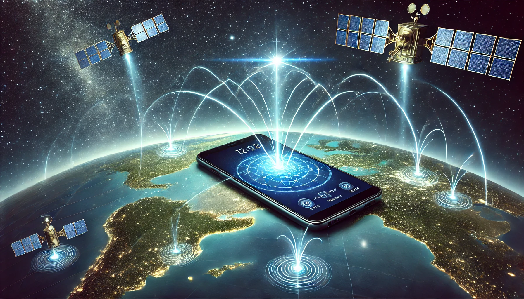
- What it is: GPS (Global Positioning System) uses satellite signals to determine the exact geographic location of a device. This technology is fundamental for geocaching, geotagging, and device tracking.
- How it works: GPS receivers in Android and iOS devices communicate with a constellation of satellites orbiting the Earth. By calculating the time it takes for signals from multiple satellites to reach the receiver, the device can determine its location with high precision.
- Relevance: For applications like geocaching, where users search for hidden containers using precise geographic coordinates, GPS is indispensable. Similarly, geotagging (attaching location data to photos or social media posts) and device tracking (finding a lost or stolen device) depend on GPS to provide accurate location data.
Why this option is correct:
- GPS is one of the primary methods for determining location on mobile devices.
- It provides the highest accuracy compared to other methods (within a few meters under ideal conditions).
- It operates independently of cellular or Wi-Fi networks, making it especially useful in remote areas where network coverage is limited.
2. Cellular or Wi-Fi Network

Explanation:
- What it is: Cellular towers and Wi-Fi networks can be used to approximate the location of a device. When GPS is unavailable or insufficient, devices rely on these networks as an alternative.
- How it works:
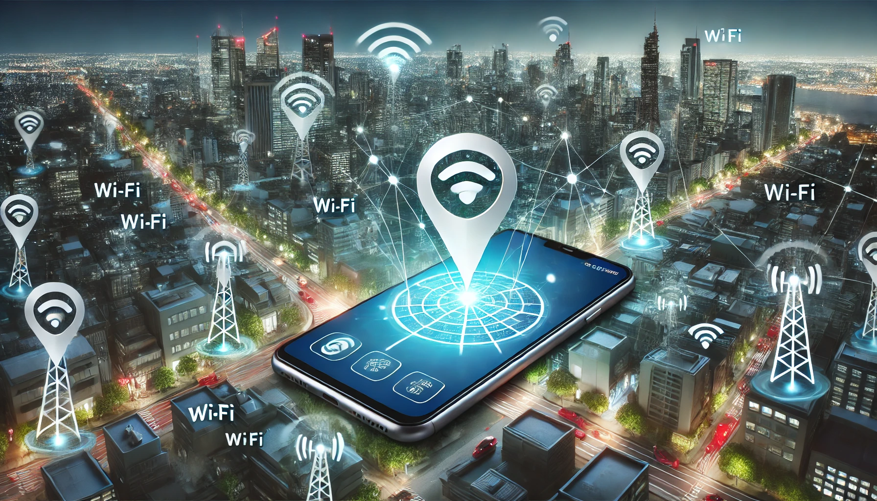
- Cellular networks: Devices determine location by triangulating signals from nearby cell towers. The more towers a device can communicate with, the more accurate the location estimate.
- Wi-Fi networks: Devices can identify their location based on the proximity of known Wi-Fi networks. Databases containing the geographic locations of Wi-Fi hotspots allow devices to map themselves to a specific area.
- Relevance: For geotagging, geocaching, and device tracking, cellular and Wi-Fi networks provide a backup to GPS. They are particularly useful indoors or in urban environments where GPS signals may be weak or blocked by buildings.
Why this option is correct:
- Cellular and Wi-Fi networks enable location determination when GPS signals are unavailable or unreliable.
- They improve location accuracy in scenarios where GPS alone might struggle, such as indoors or in dense urban areas.
- Modern devices use a combination of GPS, cellular, and Wi-Fi signals to enhance the accuracy and reliability of location-based services.
3. The User Profile
Explanation:
- What it is: The user profile typically contains personal information, preferences, and settings associated with a device or account (e.g., Google or Apple ID).
- How it works: While user profiles can provide data about user preferences and app usage, they do not include mechanisms for determining physical location.
- Relevance: User profiles are unrelated to the technical processes involved in geocaching, geotagging, or device tracking.
Why this option is incorrect:
- A user profile contains personal information but does not contribute to location determination.
- Geocaching, geotagging, and device tracking rely on real-time geographic data, which cannot be derived from a user profile.
4. Images of the Environment from the Integrated Camera
Explanation:
- What it is: Mobile device cameras can capture images of the surrounding environment, and these images may sometimes contain clues about location (e.g., landmarks or QR codes).
- How it works: In specific use cases, such as augmented reality (AR) applications, devices can use computer vision to analyze camera images and infer location. However, this method is not a standard or reliable source of location data.
- Relevance: While images can provide supplementary information for certain applications, they are not a primary method for geocaching, geotagging, or device tracking.
Why this option is incorrect:
- The camera is not used directly to determine location in geocaching, geotagging, or device tracking.
- Location-based services rely on GPS and network signals for accurate geographic data, not image analysis.
5. The Relative Position to Other Mobile Devices
Explanation:
- What it is: This concept involves determining location based on proximity to other mobile devices using technologies like Bluetooth, NFC, or device-to-device communication.
- How it works: Relative positioning might be used in specific scenarios, such as local file sharing or peer-to-peer applications. However, it is not a primary method for determining geographic location.
- Relevance: While this approach can estimate proximity, it cannot independently determine the absolute geographic location required for geocaching, geotagging, or device tracking.
Why this option is incorrect:
- Relative positioning does not provide absolute geographic coordinates.
- GPS and network signals are more reliable and widely used for location-based services.
Summary of Correct and Incorrect Options
| Option | Correct/Incorrect | Explanation |
|---|---|---|
| GPS signals | Correct | Provides accurate geographic coordinates using satellite signals, essential for geocaching, geotagging, and tracking. |
| Cellular or Wi-Fi network | Correct | Offers location data as a backup to GPS, particularly in areas with poor GPS signal. |
| The user profile | Incorrect | Contains personal data but does not contribute to location determination. |
| Images of the environment | Incorrect | May assist in specific cases but is not a standard method for location-based services. |
| Relative position to other devices | Incorrect | Useful for proximity detection but cannot determine absolute location. |
Conclusion
The two primary sources of information for geocaching, geotagging, and device tracking on Android and iOS devices are GPS signals and cellular or Wi-Fi networks. These technologies work together to ensure accurate and reliable location determination under various conditions. GPS provides precise location data, while cellular and Wi-Fi networks act as complementary technologies, enhancing accuracy and reliability when GPS is unavailable or insufficient.